
Menu
DEMETER ENVIRONMENTAL / CASE STUDY
Residential Development, Manor Street, Fenton, ST4
THE PROJECT
Site context.
Practical findings.
In order to demonstrate that after the development the site could not be classified as ‘contaminated land’ under Part 2A of the Environmental Protection Act a Phase I desk study report was required to support the application for the erection of an extension to an existing commercial building.
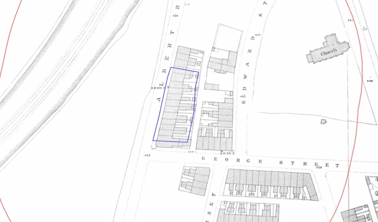
The history of the site and surrounds were researched using a combination of Ordnance Survey (O.S.) maps, street level imagery and aerial plates. The site was developed prior to the first edition O.S. map (1877) and the site was occupied by what appeared to be terraced dwellings which were cleared in the late 1980’s.

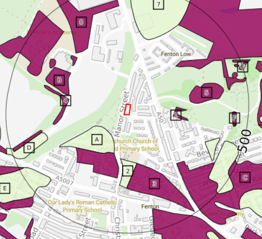
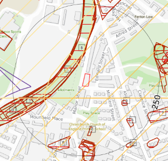
Infomration obtained from the Coal Authority indicated the iste was not within a ‘Development High Risk Area’ and further assessment of the risks of the inferred outcropping coal seam was not warranted.
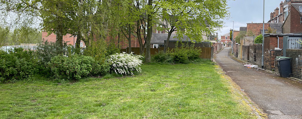
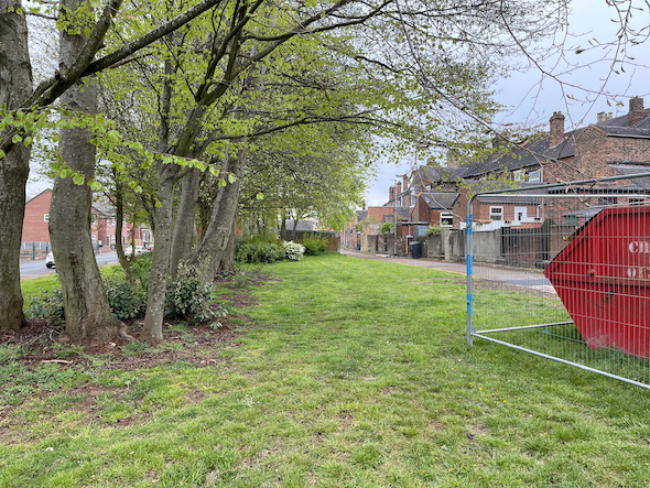
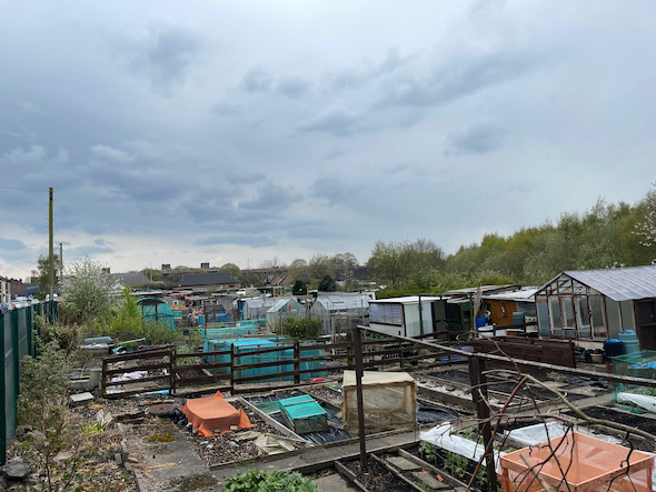
On completion of the desk based research a site reconnaissance visit was undertaken, this revealed the site formed a parcel of open landscaped ground with a number of trees present on the site.
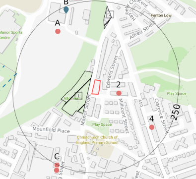
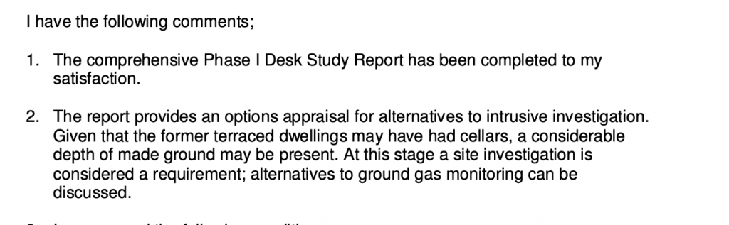
On completion of the walkover survey a qualitative risk assessment was undertaken on the potential sources of contamination identified in the desk study report in order to determine if any warranted further investigation, this concluded that the potential for made ground to be present on the site as well as the landfills within 250m of the site warranted further assessment.
As an alternative to further site investigation and ground gas monitoring the alternative of remediation in lieu of investigation was deemed suitable and proposed in the report.
The report was submitted alongside the application in order to support the application.
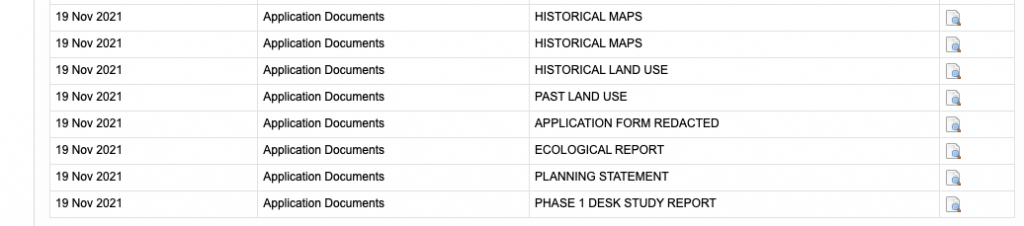
The recommendations of the report were accepted and the further works were to be conditioned.
This case study records the project circumstances and conclusions at the time of the work. Planning links may refer to historical council systems.
YOUR NEXT PROJECT
A different site.
The same careful approach.
Send us your site address, development plans and any planning conditions. We’ll help establish the right scope of assessment.
Independent environmental consultancy
Liverpool · Brighton · Cumbria