
Menu
DEMETER ENVIRONMENTAL / CASE STUDY
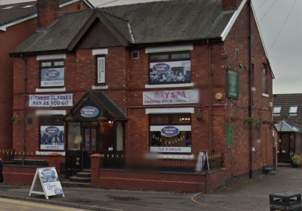
Demolition of Former Health Cub and Erection of an Apartment Block, Audenshaw, Manchester, Tameside, M34
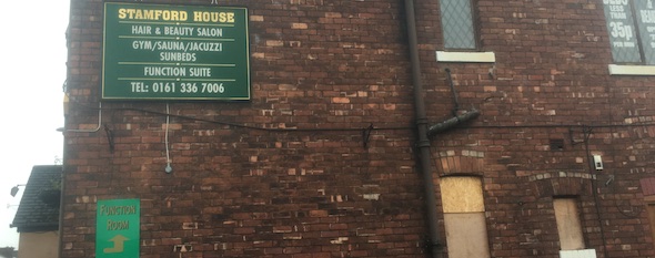
PROJECT OVERVIEW
Ground investigation at Audenshaw
For an apartment development in Audenshaw, a revised desk study led to trial pits followed by boreholes to provide geotechnical details. Investigation results identified risks associated with made ground and informed remediation proposals and an implementation plan. The original record states that the condition-discharge application remained undecided in April 2021.
Explore related expertise
ground investigation methods · More case studies for this council area · Related project: Dynamic sampling investigation in Hornchurch
Discuss a new site with our Liverpool, Brighton or Cumbria office. Browse the UK project map for other locations.
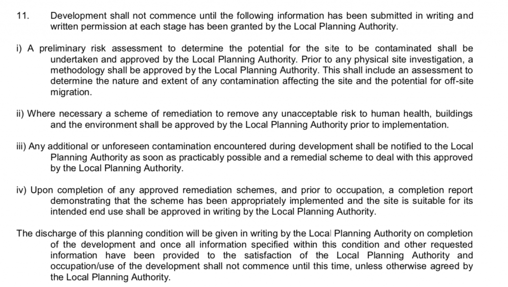
In order to discharge the first part of the condition (11i) a preliminarily risk assessment (also known as a desk study report), Demeter Environmental were commissioned to undertake the works required to discharge the contaminated land planning condition.
A desk study determines what issues relating to historical contamination may affect the site, this is undertaken by reviewing the site history using a combination of O.S. maps, aerial, plates and street level imagery, a review of data held by regulatory bodies (Environment Agency, local authority, BGS etc.) as well as a site walkover survey.
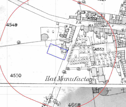
The review of the O.S. maps revealed the site was developed before the first edition map as the site was occupied by a building. A number of hat manufacturers were present around the site. The site was further developed over the maps.
The hat manufactory on the southern boundary was identified until 1932 and from 1962 to 1992 a library was present on the northern boundary. A number of in-filled ponds were also noted on the O.S. maps.
Data provided by regulatory bodies identified the hat manufactories, a tank, ultramarine factory and an electricity station as potential sources.
Data form the British Geological Survey (BGS) indicated the natural soils were impacted by elevated concentrations of lead.
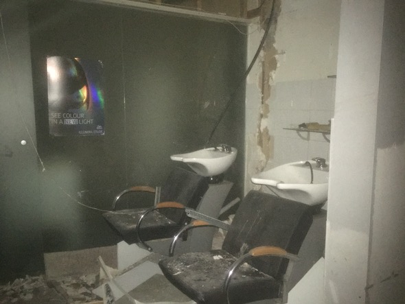
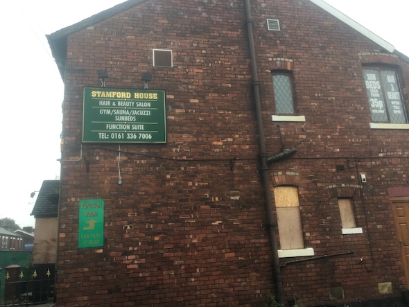
On completion of the walkover survey a qualitative risk assessment was undertaken on all the potential sources of contamination identified in the report, all but the potential for made ground on site and the lead in. natural soils were discounted.
Given that the developed was apartments with small landscaped area on the frontage. Further site investigation was not proposed and site investigation in lieu of investigation as proposed.
The adjoining hat manufactory was identified as a credible source by the contaminated land officer and based on their comments the report was revised and a site investigation to assess the risk from made ground on site as well as mobile contamination from the adjoining hat manufactory was proposed in a revised desk study report.
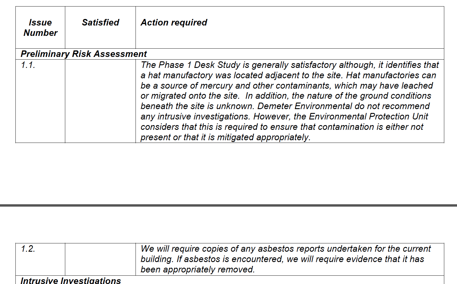
The original desk study report is available with 19/00116/PLCOND (Phase I Desk Study Report – Part 1 to 6 – dated 6th November 2019) as well as the revised desk study report (numerous files dates 21st November 2019).
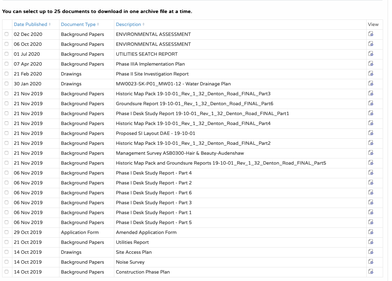
On completion of the revised desk study report the site was cleared and the Phase II site investigation was undertaken which was required in conjunction with the desk study report to discharge part i of the condition.
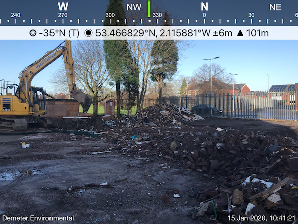
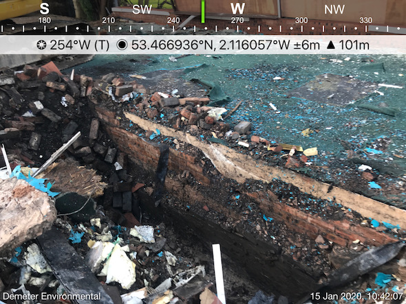
The investigation revealed that made ground was present across the site to a maximum depth of 1.4mbgl..
Samples of the made ground was taken and subject to the chemical analysis in line with the desk study report.
Whilst the chemical analysis of the natural soils indicated the adjoining hattery had not impacted site soils, the made ground was impacted by elevated concentrations of contamination which posed a risk to end users, concrete and water mains. Based on this remediation was proposed which included the removal of soils impacted by naphthalene or ground gas monitoring.
The Phase II report is available with 19/00116/PLCOND (Phase II Site Investigation Report – dated 21stFebruary 2020).
As the Phase II report proposed remediation, in order to discharge condition 11ii a remediation strategy was required Prior to the commencement of the development. This document contains the details of how the remediation will be undertaken and demonstrated to have been undertaken correctly.
The Phase IIIa report is available with 19/00116/PLCOND (Phase IIIA Implementation Plan – dated 7th April 2020).
As of April 2021 the application to discharge conditions had not been decided on.
This case study records the project circumstances and conclusions at the time of the work. Planning links may refer to historical council systems.
YOUR NEXT PROJECT
A different site.
The same careful approach.
Send us your site address, development plans and any planning conditions. We’ll help establish the right scope of assessment.
Planning similar work? Read about our geotechnical site investigation service and the information to send for a quotation.
Independent environmental consultancy
Liverpool · Brighton · Cumbria