
Menu
DEMETER ENVIRONMENTAL / CASE STUDY
Erection Of New Storage Building, Mill Street, Tottington, Bury, BL8
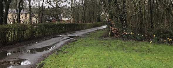
PROJECT OVERVIEW
Gas membrane validation at Mill Street, Tottington
For a new storage building at Mill Street in Tottington, Demeter assessed historical filter beds, infilled ground and potential ground gas risks. Gas protection measures were proposed in lieu of monitoring, followed by a remediation strategy and validation methodology. Installation of the gas-resistant membrane was overseen and confirmed as correct. The report was submitted and the contaminated land planning condition discharged.
Explore related expertise
More case studies for this council area · Related project: Remediation strategy for Brook Lane, Flitton
Discuss a new site with our Liverpool, Brighton or Cumbria office. Browse the UK project map for other locations.
In order to demonstrate that after the development the site could not be classified as ‘contaminated land’ under Part 2A of the Environmental Protection Act a Phase I desk study report was required to support the application for residential redevelopment of the site.
A desk study determines what issues relating to historical contamination may affect the site, this is undertaken by reviewing the site history using a combination of O.S. maps, aerial, plates and street level imagery, a review of data held by regulatory bodies (Environment Agency, local authority, BGS etc.) as well as a site walkover survey.
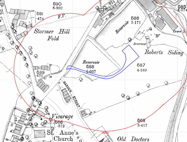
The history of the site and surrounds were researched using a combination of Ordnance Survey (O.S.) maps, street level imagery and aerial plates, this revealed the site was initially (1848) the site formed part of a larger parcel of open land, by 1891 the access road formed part of a reservoir and by 1910 the main area was occupied by filter beds. By 1928 the filter beds were identified as disused.

The 1959 map identified the reservoir as being silted up and by 1989 the filter beds had been removed. Aerial plates indicate the site comprises of an access road and hard-standing, the area of the proposed unit appears to be landscaped.
A number of parcels of in-filed land were noted within 250m of the site.
The planning history of the site was reviewed as part of the desk based research and reports associated with any previous application were located and studied, no previous applications were noted.
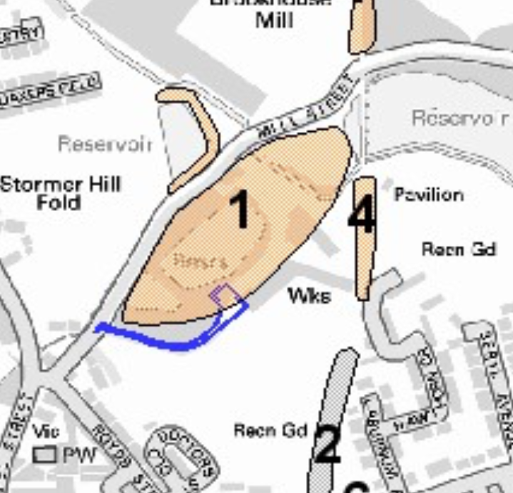
given as Devensian Till and the solid geology is given as Milnrow Sandstone of the Langsettian Sub-age.
Data provided by regulatory bodies identified the presence of a filter beds and a quarry on the site as well as a bleach works.
On completion of the desk based research a site reconnaissance visit was undertaken, this confirmed the site comprised the site comprised of the access road, a storage area and an area of landscaping (where the building will be erected). A pallet if sodium bicarbonate and two liquid containers were noted in this area. An excavation was noted in the landscaped area, gravel of brick was noted in the faces of the excavation.
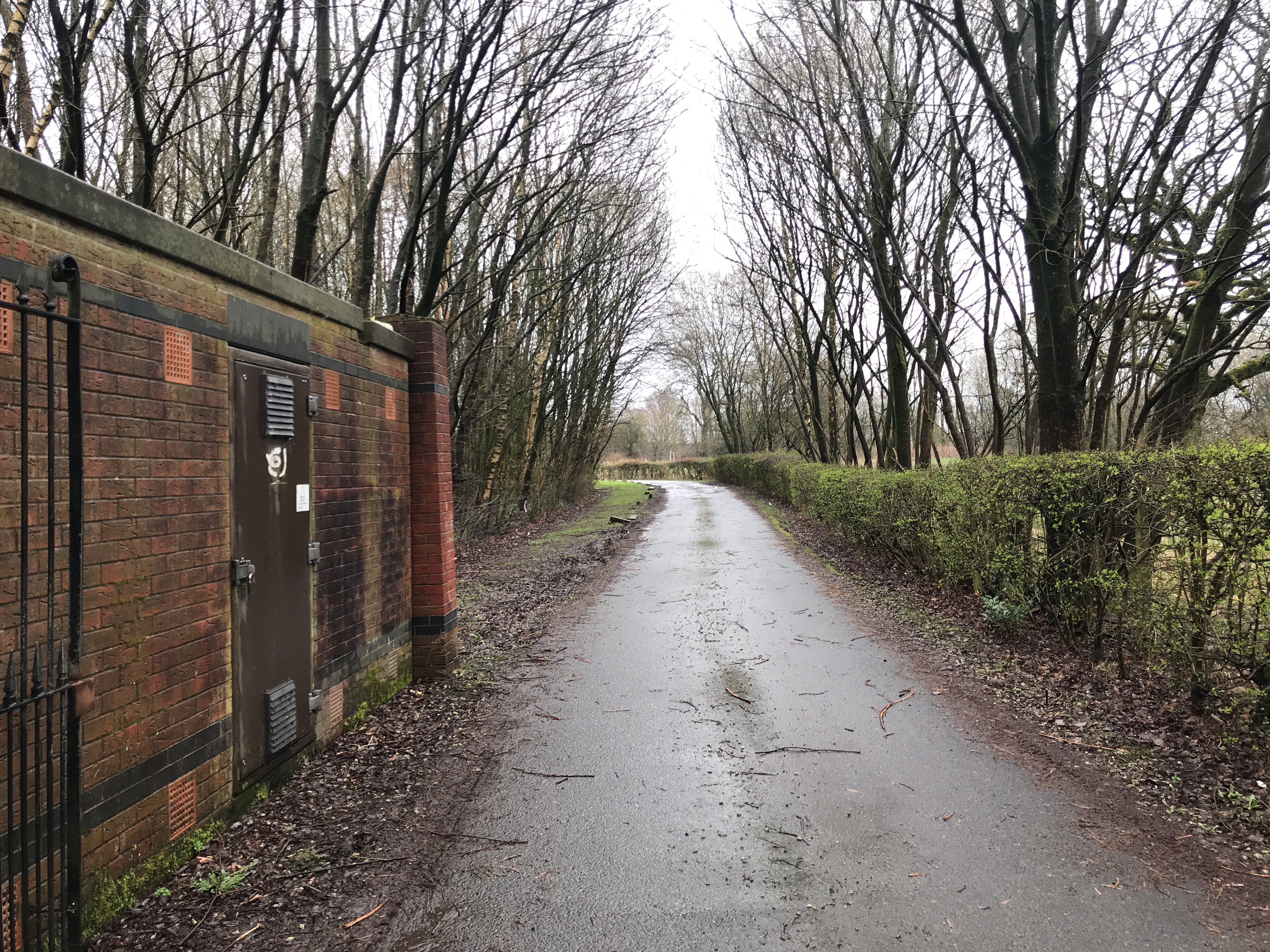
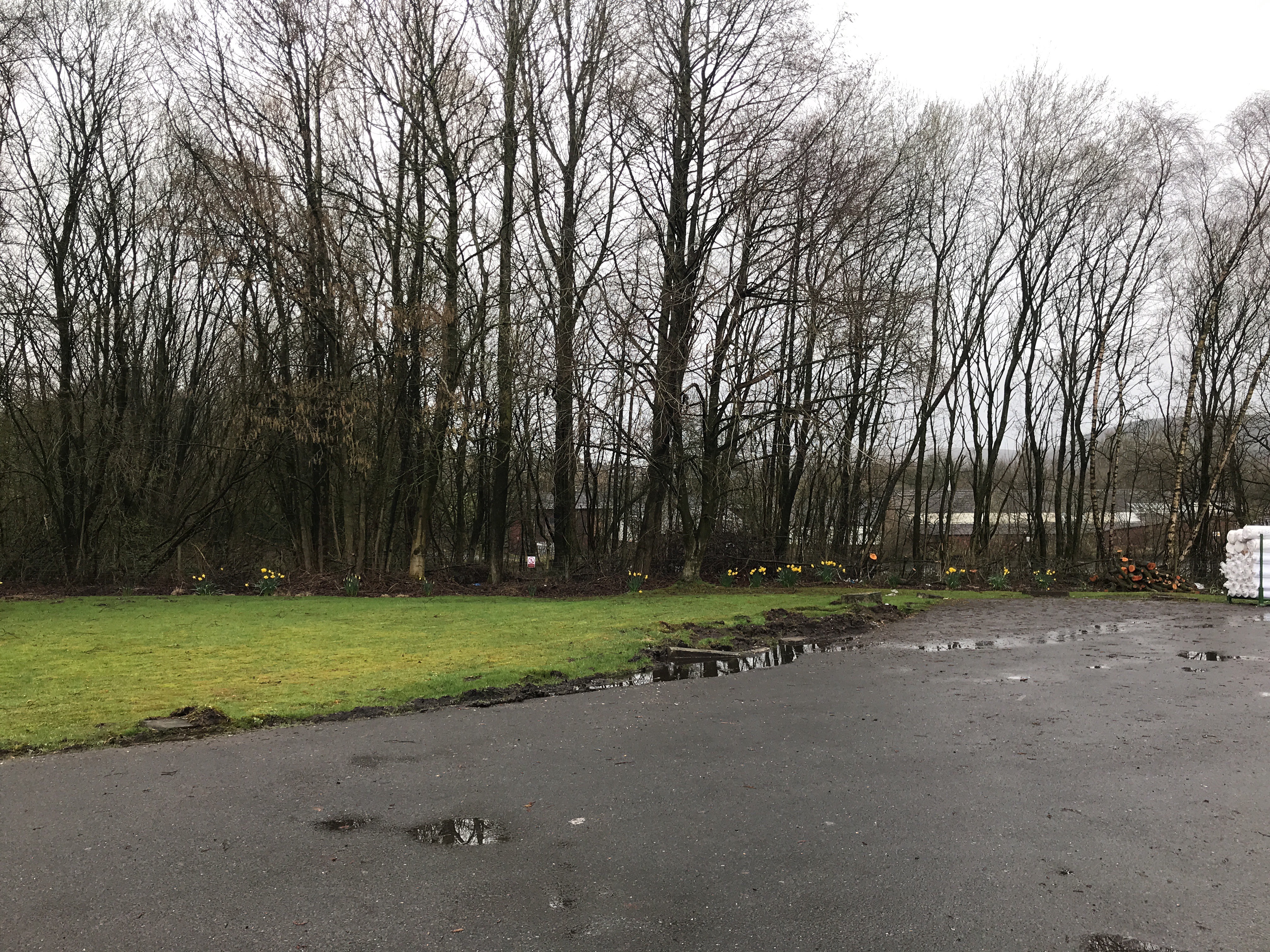
Once the walkover survey was completed a qualitative risk assessment was undertaken on the potential sources of contamination identified in the desk study report in order to determine if any warranted further investigation, this concluded that given the absence of any landscaped areas and the building would be used for storage the only potential issue was the accumulation of ground gases in the building.
The report concluded that in lieu of ground gas monitoring gas protection measures should be incorporated into the building design.
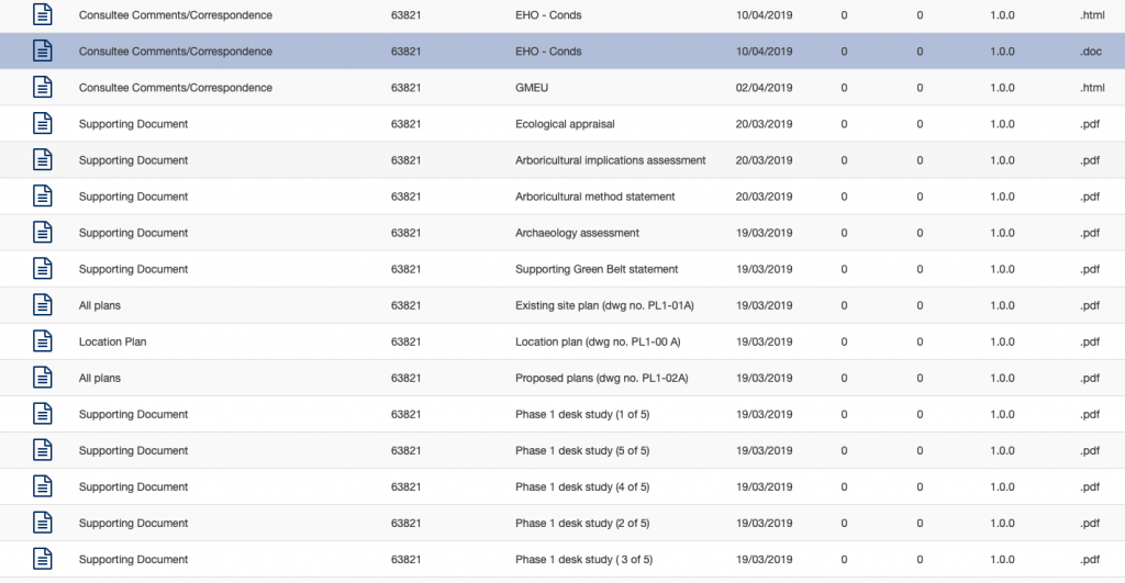
The report was submitted to support the application, the recommendations of the report were accepted and planning granted.
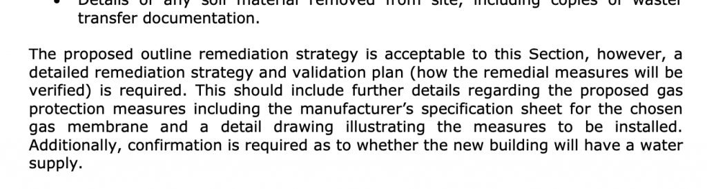
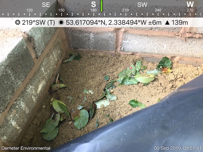
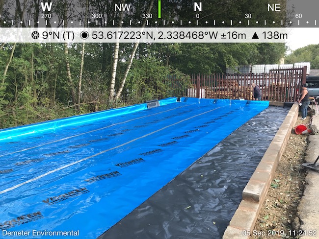
The report was submitted, discharging the contaminated land planning condition.

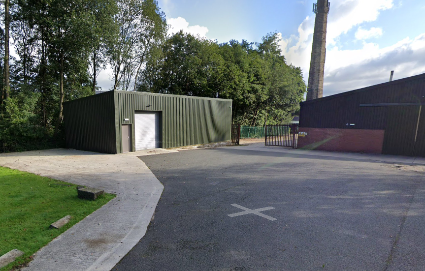
This case study records the project circumstances and conclusions at the time of the work. Planning links may refer to historical council systems.
YOUR NEXT PROJECT
A different site.
The same careful approach.
Send us your site address, development plans and any planning conditions. We’ll help establish the right scope of assessment.
Independent environmental consultancy
Liverpool · Brighton · Cumbria