Extension to Warehouse, Bradford Road, Batley, WF17
Project overview
 In order to demonstrate that after the development the site could not be classified as ‘contaminated land’ under Part 2A of the Environmental Protection Act a Phase I desk study report was required to support the application for residential redevelopment f the site.
A Phase I desk study report assess the potential for a site to be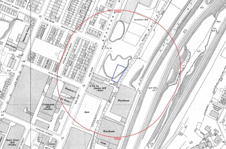 impacted by contamination, this is undertaken by researching the history of the site and the surrounds as well as a review of information held by regulatory bodies and a site visit.
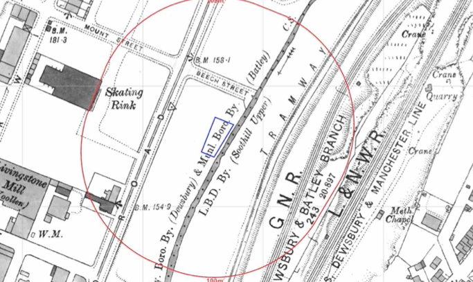
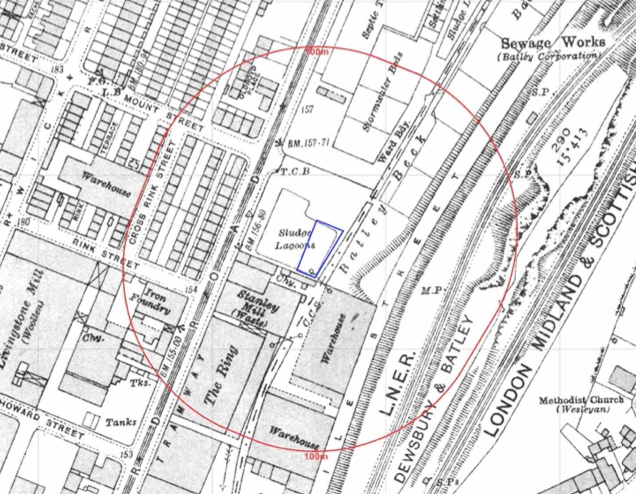 The history of the site and surrounds were researched using a combination of Ordnance Survey (O.S.) maps, street level imagery and aerial plates, this revealed that the site was initially developed cirica 1905 when a small building was present, by 1933 the site formed part of a sludge lagoon which was drained by 1954 and the site formed part fo an excavation.
The site was further redeveloped circa 1971 when the site formed part of the curtilage of a 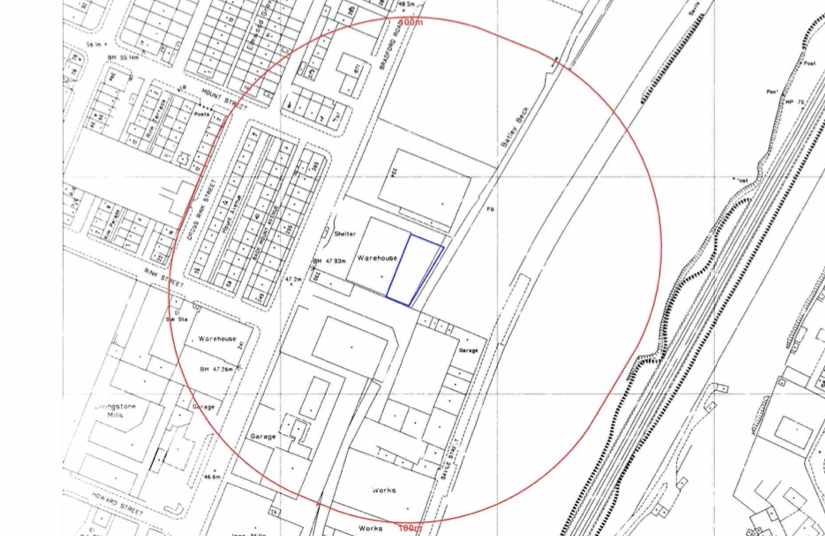 warehouse.
A number of potentially contaminative land uses were noted in close proximity to the site (sewage works, tramway, railway line, excavations etc.)
The planning history of the site was reviewed as part of the desk based research and the reports associated with the previous application were located and studied, whilst two previous applications were noted
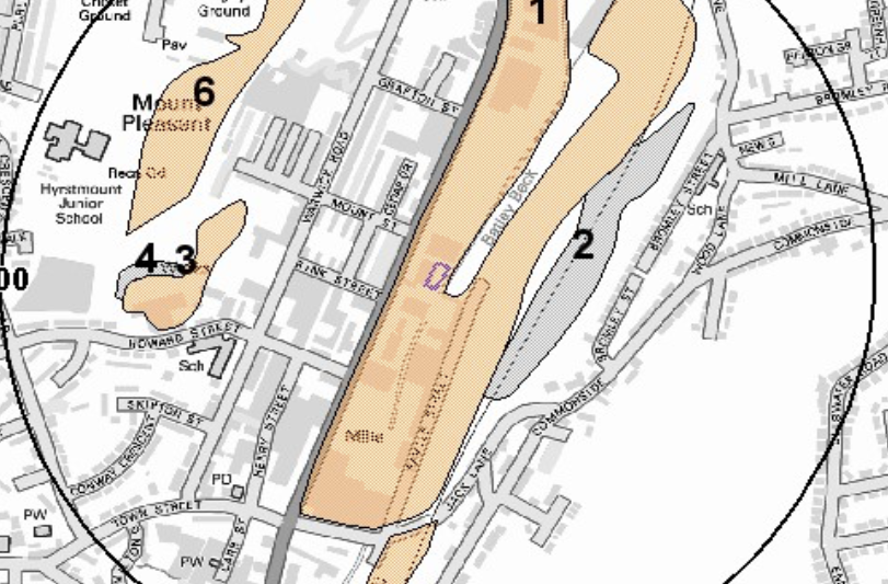 The published geological maps identified the site was in an area
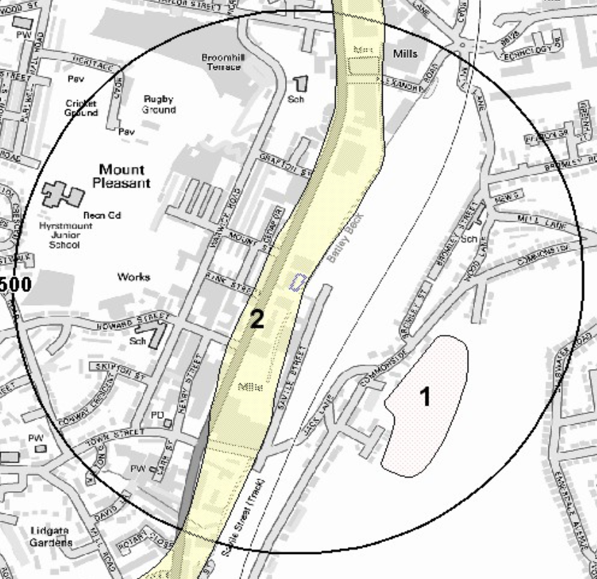 where deposits of made ground were present, the drift soils were given as alluvium (naturally occurring source of ground gases) which in turn was underlain by the Pennine Lower Coal Measures Formation. Two boreholes were available within 50m of the site, made ground was recorded in both locations with an organic clay and bedrock was recorded at between 5.1mbgl and 2.7mbgl.
Data provided by the Coal Authority was used to determine the site was not within a ‘Development High Risk Area’.
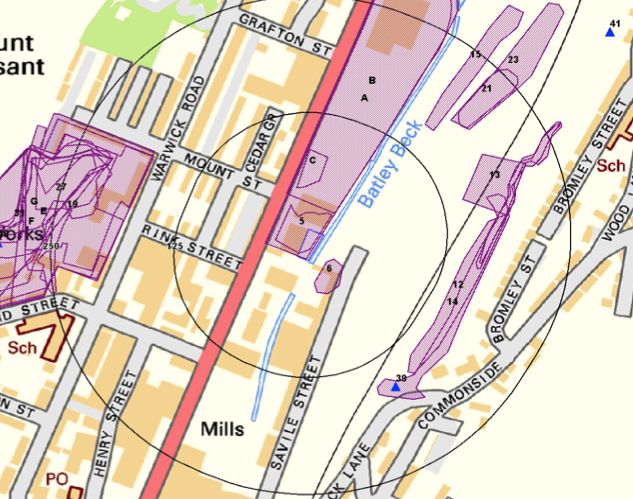 Data provided by regulatory bodies identified a number of
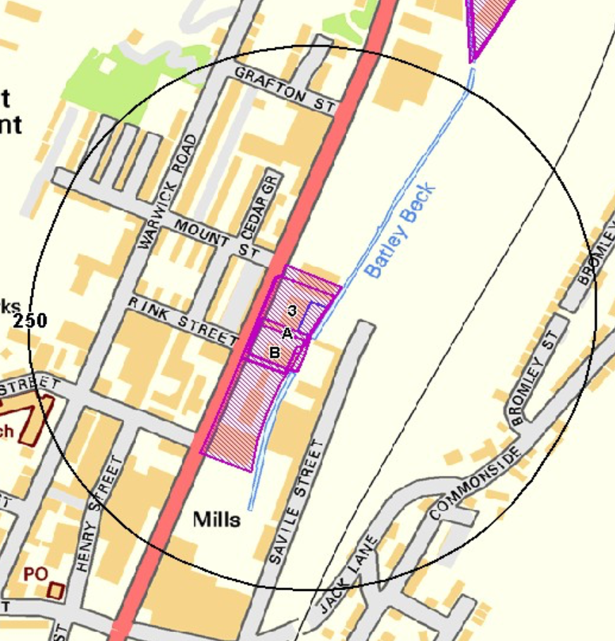 excavations and refuse heaps within 250m o as well as the site being part of a landfill and various potentially contaminative land uses on and near the site.
On completion of the desk based research a site reconnaissance visit was undertaken, this confirmed the site comprised of a yard which was used to store vehicles at the time of the survey.
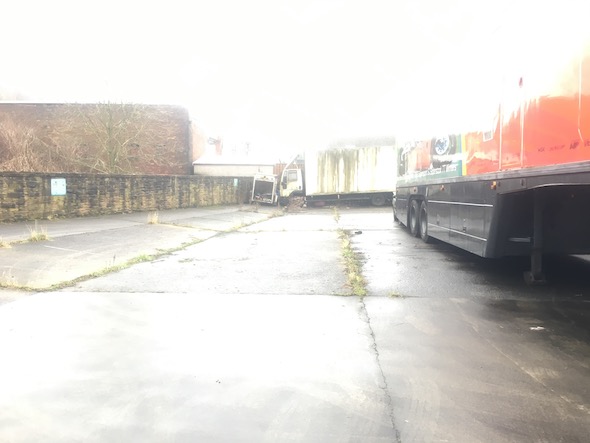 Once the walkover survey was completed a qualitative ris
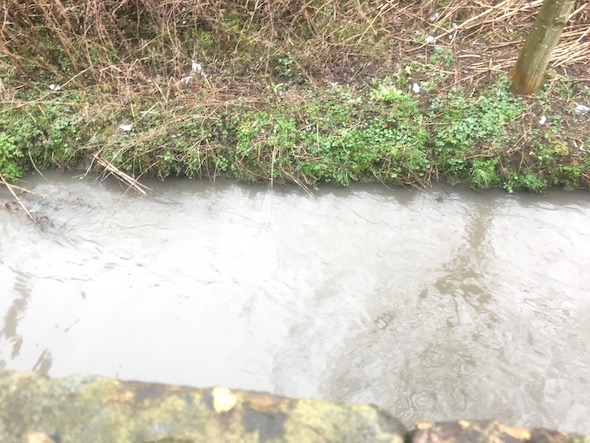 k assessment was undertaken on the potential sources of contamination identified in the desk study report in order to determine if any warranted further investigation, this concluded that whilst the proposed development was low sensitivity the issues that may affect the site still warranted further works and assessment. However based on the information in the report the site could be redeveloped and be ‘suitable for use’ and not be able to be classified as ‘contaminated land’ under Part 2A of the Environmental Protection Act.
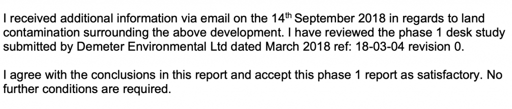
The report was submitted to support the application, the recommendations were accepted and planning granted.
This case study records the project circumstances and conclusions at the time of the work. Planning links may refer to historical council systems.
Support for your site
Explore our environmental and geotechnical services or request a quotation.