Change Of Use Of Agricultural Buildings To 2 Dwellings, South Brink, Wisbech
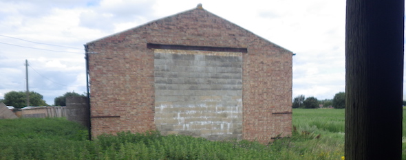
Project overview
In order to demonstrate that after the development the site could not be classified as ‘contaminated land’ under Part 2A of the Environmental Protection Act a Phase I desk study report was required to support the application for residential redevelopment of the site.
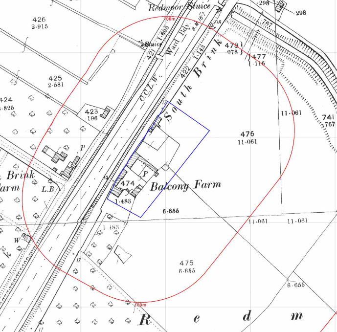 A desk study determines what issues relating to historical contamination may affect the site, this is undertaken by reviewing the site history using a combination of O.S. maps, aerial, plates and street level imagery, a review of data held by regulatory bodies (Environment Agency, local authority, BGS etc.) as well as a site walkover survey.
The history of the site and surrounds were researched using a combination of Ordnance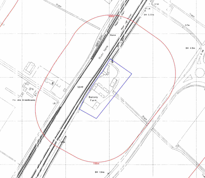 Survey (O.S.) maps, street level imagery and aerial plates, this revealed the site was initially 1886) the site was occupied by Balcony Farm, the 1888-1899 map identified a number of buildings on the site, all but one are on the southern area. By 1937 the southern area had been developed and a glass house was present on the south eastern boundary of the site.
The glass house had been demolished by the 1950 map.
By 1968 an additional building had been erected on the northern area of the site and by 1986 a number of the buildings on the southern area had been demolished.
No significant changes could be identified on the aerial plates from 1999 to 2016.
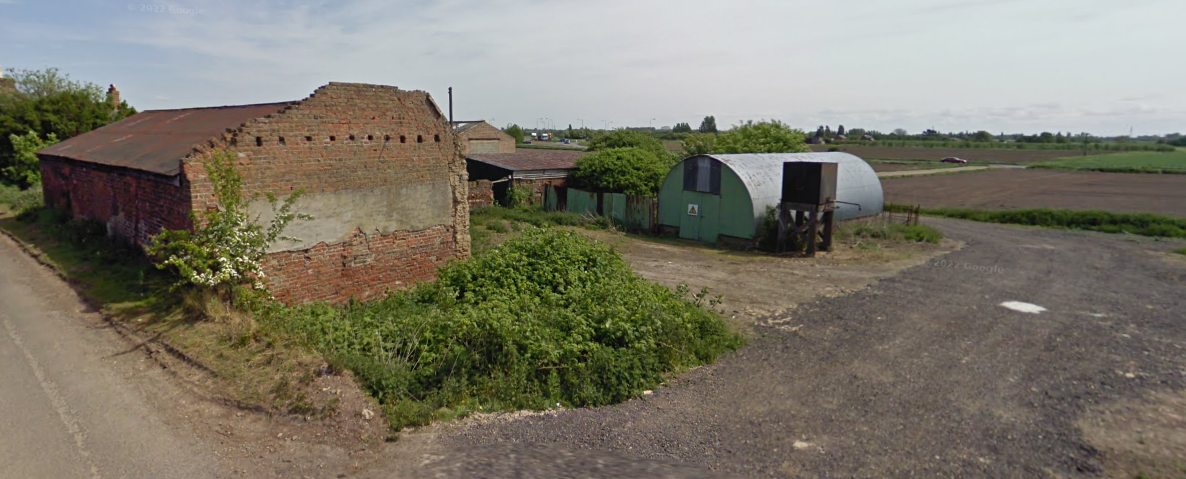
The May 2009 Streetview images of the site indicate an unbunded tank is present on the southern area of the site adjacent to a building with a warning sign on. The tank is not identified on the October 2016 images.
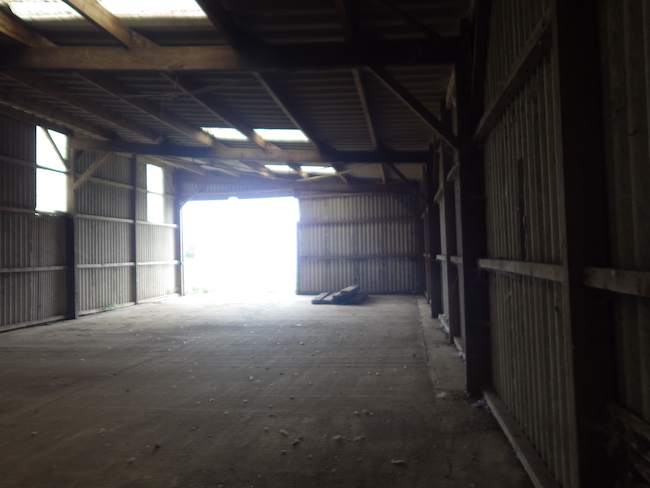
The Streetview images indicate the buildings on the north western boundary are brick structures (barn and dwelling), the north eastern building also appears to be a brick barn. The remaining two buildings are constructed of metal sheeting and plastic.
The planning history of the site was reviewed as part of the desk based research and reports associated with any previous application were located and studied, no previous applications were noted.
 The published geological maps gave the drift soils as tidal flat deposits with the solid geology given as the Ampthill Clay Formation (mudstone) of the Oxfordian epoch.
Data provided by the Coal Authority indicated that the site is not within a “Development High Risk Area”.
A review of the BGS borehole database indicated no boreholes were available in close proximity to the site.
Data provided by regulatory bodies did not provide any further salient information.
The sensitivity of controlled waters was undertaken to determine if the site posed a risk to the nearby controlled waters, this concluded that as the controlled waters were of low risk due to the soils being unproductive aquifers, no further assessment was warranted.
On completion of the desk based research a site reconnaissance visit was undertaken, this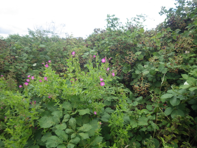 confirmed the site comprised of a number of buildings, damaged cement sheeting was noted as well as the site being used to store plant. Staining was also noted within one of the buildings.
Once the walkover survey was completed a qualitative risk assessment was undertaken on the potential sources of contamination identified in the desk study report in order to determine if any warranted further investigation, this concluded that the potential for made ground to be present on the site as well the storage of plant, fuel tank, staining and damaged cement sheeting all warranted further investigation.
The report concluded that further assessment comprising of site investigation comprising of an investigation in he areas of possible hydrocarbon contamination. Remediation in lieu of investigation was also proposed for the risks relating to made ground.
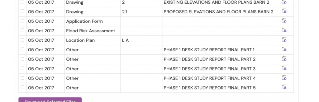
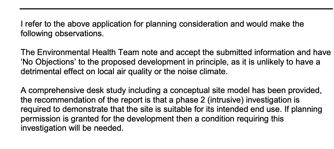
The report was submitted to support the application, the recommendations of the report were accepted, planning granted and the proposed works were conditioned.

This case study records the project circumstances and conclusions at the time of the work. Planning links may refer to historical council systems.
Support for your site
Explore our environmental and geotechnical services or request a quotation.