Residential Development of a Former Mill, Kem Mill Lane, Whittle-le-woods
Project overview
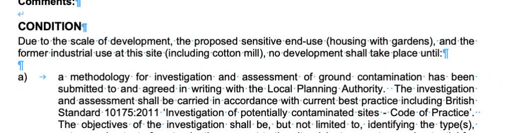
Given the sensitive nature of the development (residential) and the history of the site (mill) a contaminated land planning condition was attached to the decision notice for the proposed development.
The first stage of discharging the condition was to prepare a Phase I desk study report in order to determine if the site has the potential to be impacted by elevated levels of contamination, and to determine the source as well as the likelihood of the risk occurring.
 A desk study determines what issues relating to historical contamination may affect the site, this is undertaken by reviewing the site history using a combination of O.S. maps, aerial, plates and street level imagery, a review of data held by regulatory bodies (Environment Agency, local authority, BGS etc.) as well as a site walkover survey.
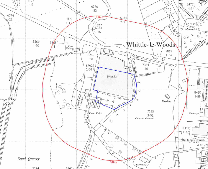 The history of the site and surrounds were researched using a
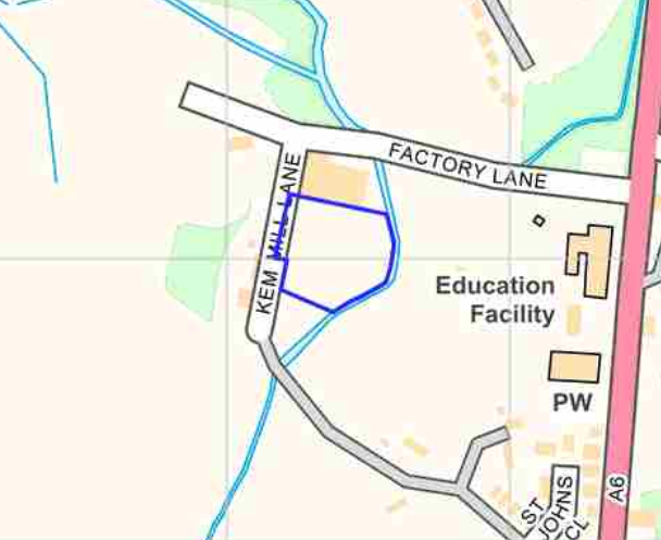 combination of Ordnance Survey (O.S.) maps, street level imagery and aerial plates, this revealed the site was initially (1848) undeveloped and by 1893 the site comprised of Kem Mill (cotton) on the southern area with the northern area remaining undeveloped. The site was identified as a works on the 1963 map and the site was cleared between 2013 and 2014.
A gravel pit, sand quarry and a gasometer were noted off site.
Street level imagery of the site was not available.
The planning history of the site was reviewed as part of the desk based research and reports associated with any previous application were located and studied, three applications related to the change of use of the mill to industrial and given the age of the applications the documentation was not available. However a site investigation report associated with application 16/00504/DIS was identified and reviewed.
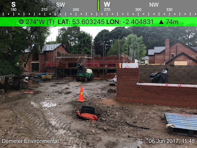 A number of reports were also provided by the client, these were reviewed and included in the desk study report. A ground investigation was prepared by others in November 2014, which comprised of our cable percussion boreholes recorded between 0.45m and 1.2m of made ground. The made ground generally comprised of brick and concrete, ash was recorded to be present in BH4.
Five samples were analysed to a limited analysis suite, which identified elevated levels of arsenic in BH3. The area of BH3 was revisited by others and an additional two samples were taken and analysed to a limited suite. We have been informed that the soils in the vicinity of BH3 have been removed from the site.
Ground gas risk assessments by two third parties are also provided which concluded that the site is not impacted by ground gases.
The published geological maps identified the site being on a boundary between Devensian Till and alluvium (potential source of ground gases). The solid geology is given as the Marsden Formation (mudstone, siltstone and sandstone) of the Namurian epoch.
A review of the BGS borehole database did not reveal any borehole sin close proximity to the site.
Data provided by regulatory bodies indicated the presence of a pond to the east of the site and confirmed the sand pit and gravel pit which were identified on the O.S. maps.
The sensitivity of controlled waters was undertaken to determine if the site posed a risk to the either surface water or ground water, this concluded both were of low sensitivity and no further assessment was warranted.
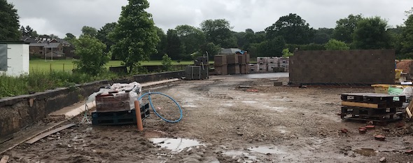
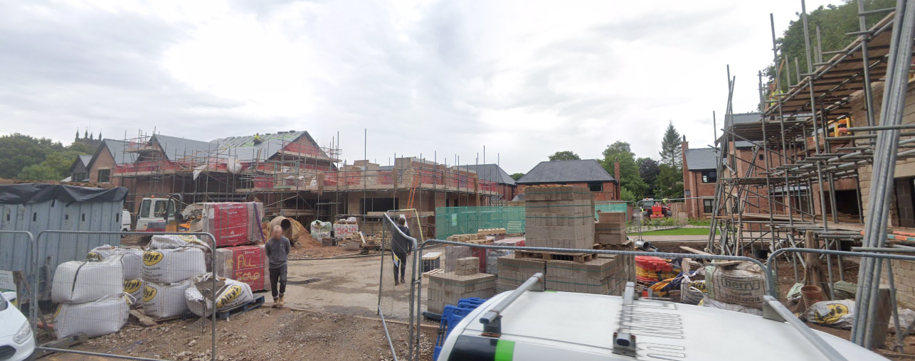
On completion of the desk based research a site reconnaissance visit was undertaken, this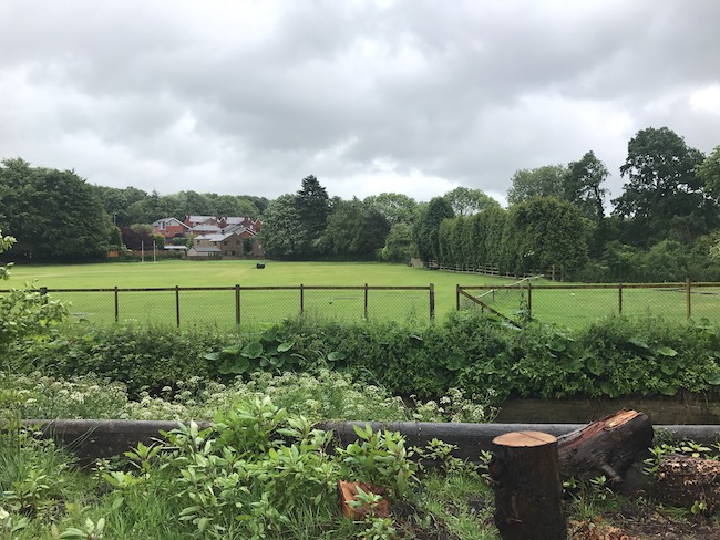 revealed thesite comprised of a construction site with a number of dwellings at varying points in the construction phase. The area of the in-filled reservoir was observed as part of the walkover survey, the area formed part of the field of the nearby school. Three was no evidence of distressed vegetation in the area of the in-filled reservoir.
The area of the sand quarry to the south west of the site was observed (from Kem Mill Lane as there was no access), it was unclear if any in-filling had taken place.
The building on the northern boundary was used as a play centre and indoor laser tag.
Once the walkover survey was completed a qualitative risk assessment was undertaken on the potential sources of contamination identified in the desk study report in order to determine if any warranted further investigation, this concluded that whilst the made ground on the site and the potential for ground gases warranted further assessment, reports provided by the client confirmed the site was not affected by ground gases and the groundworks that had been undertaken prior to development provided a minim of a 1,0000mm cover across the site.
Based on this it was concluded that all potential pollution linkages had been broken and no further works were required.
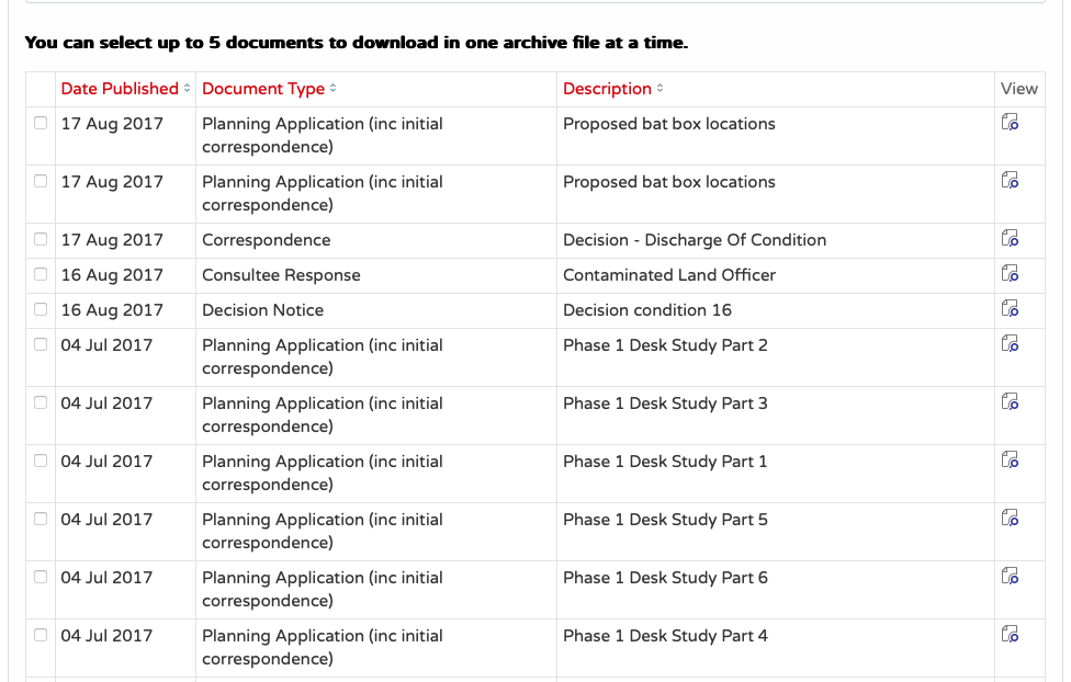
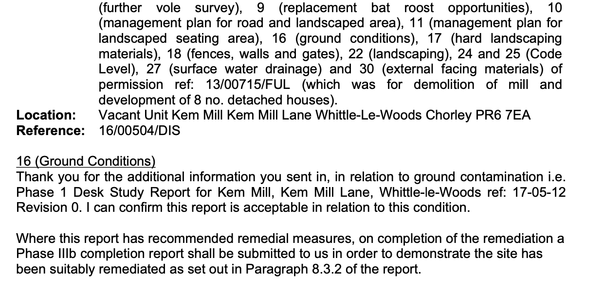
The Phase I and Phase II reports were submitted (16/00504/DIS) to discharge the contaminated land planning condition. The report accepted (see Decision condition 16 dated 16th August 2017) and the condition discharged.
This case study records the project circumstances and conclusions at the time of the work. Planning links may refer to historical council systems.
Support for your site
Explore our environmental and geotechnical services or request a quotation.