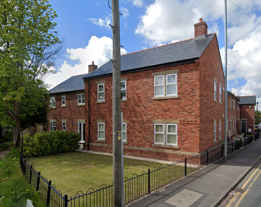
Erection of an Apartment Block, The Green, Eccleston, Chorley, PR7
Project overview
Given the sensitive nature of the development (residential) a contaminated land planning condition was attached to the decision notice for the proposed development.
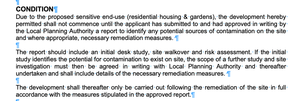
The first stage of discharging the condition was to prepare a Phase I desk study report in order to determine if the site has the potential to be impacted by elevated levels of contamination, and to determine the source as well as the likelihood of the risk occurring.
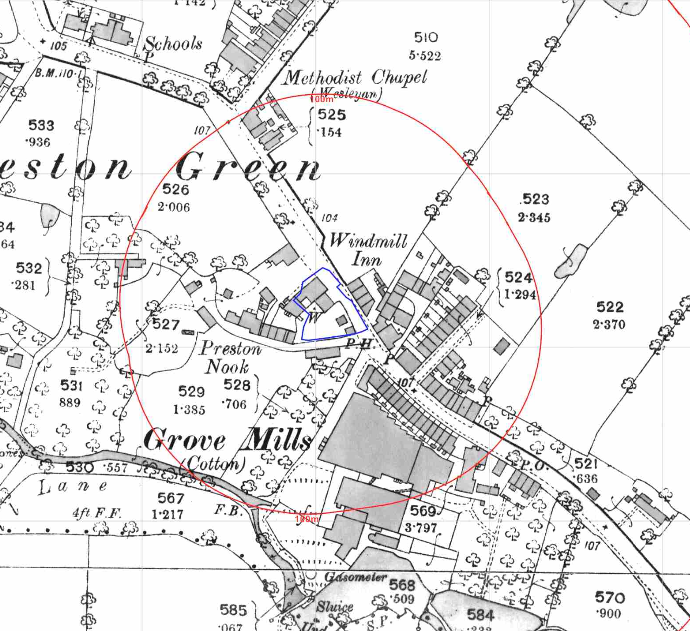 A desk study determines what issues relating to historical contamination may affect the site, this is undertaken by reviewing the site history using a combination of O.S. maps, aerial, plates and street level imagery, a review of data held by regulatory bodies (Environment Agency, local authority, BGS etc.) as well as a site walkover survey.
The history of the site and surrounds were researched using a combination of Ordnanc e Survey (O.S.) maps, street level imagery and aerial plates, this revealed the site had been developed before the first edition (1849) O.S. map and was occupied by the ‘Watermill Inn’.
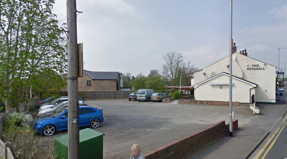
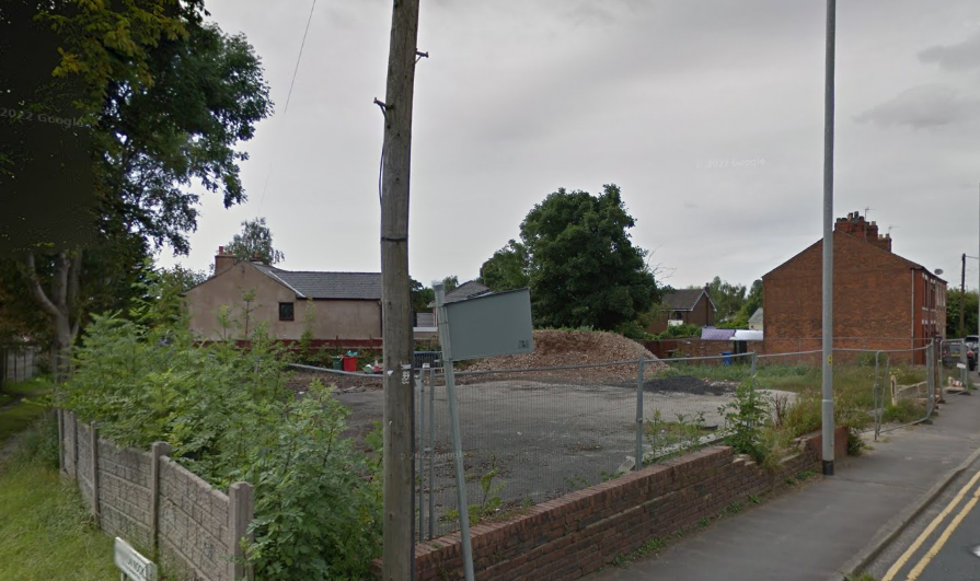
Street level imagery indicated the site was cleared between 2009 and 2016.
A cotton mill was identified 35m south of the site as well as a number of ponds within 250m of the site.
The planning history of the site was reviewed as part of the desk based research and reports associated with any previous application were located and studied and whilst a number previous applications were noted no salient information was sourced.
The published geological maps identified the site being in an area where no drift soils were recorded to be Devensian Till. The bedrock was given as the Sherwood Sandstone Group.
Data provided by the Coal Authority indicated that the site is not within a “Development High Risk Area”.
A review of the BGS borehole database did not reveal any boreholes in close proximity to the site.
Data provided by regulatory bodies confirmed the presence of a number of ponds within 250m of the site as well as a mill to the south of the site.
The sensitivity of controlled waters was undertaken to determine if the site posed a risk to the nearby water bodies, this concluded that the risks to surface water was low but as the site was underlain by a principal aquifer (sandstone) the sensitivity of the bedrock was regarded as moderate.
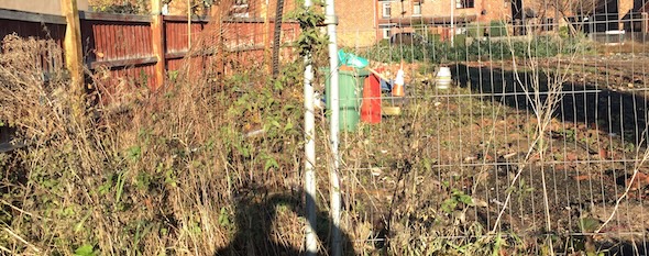
On completion of the desk based research a site reconnaissance visit was undertaken, this confirmed the public house had been demolished. The majority of the site was covered by asphalt with exposed soils / demolition rubble being present within the footprint of the former public house.
Once the walkover survey was completed a qualitative risk assessment was undertaken on the potential sources of contamination identified in the desk study report in order to determine if any warranted further investigation, this concluded that either site investigation or remediation in lieu of investigation was viable for the development.
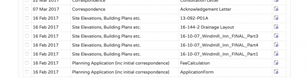

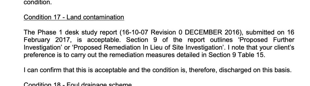
The Phase I report was submitted (17/00185/DIS) to partly discharge the contaminated land planning condition, the proposals for remediation in lieu of investigation were accepted and the condition discharged.
This case study records the project circumstances and conclusions at the time of the work. Planning links may refer to historical council systems.
Support for your site
Explore our environmental and geotechnical services or request a quotation.