
Menu
DEMETER ENVIRONMENTAL / CASE STUDY
Erection of Two Dwellings, Sandy Lane, Cranage, Cheshire
THE PROJECT
Site context.
Practical findings.
Given the sensitive nature of the development (residential) and the history of the site (workshop), a contaminated land planning condition was attached to the decision notice for the proposed development.
The first stage of discharging the condition was to prepare a Phase I desk study report in order to determine if the site has the potential to be impacted by elevated levels of contamination, and to determine the source as well as the likelihood of the risk occurring.
A desk study determines what issues relating to historical contamination may affect the site, this is undertaken by reviewing the site history using a combination of O.S. maps, aerial, plates and street level imagery, a review of data held by regulatory bodies (Environment Agency, local authority, BGS etc.) as well as a site walkover survey.
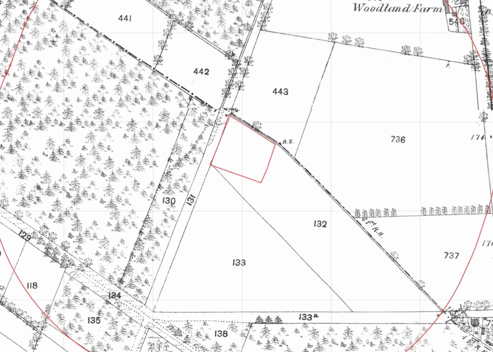
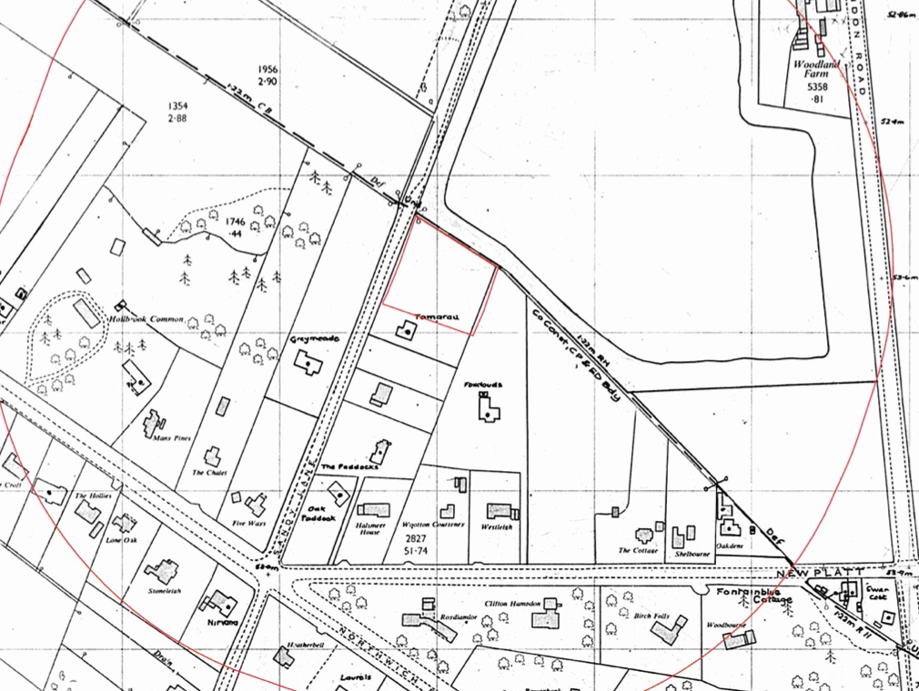
The history of the site and surrounds were researched using a combination of Ordnance Survey (O.S.) maps, street level imagery and aerial plates, this revealed that the site is undeveloped with the 1987-1991 map identifying the site as forming part of the curtilage of Tamarau. A water body was noted on the northern boundary from the 1987-1991 map.
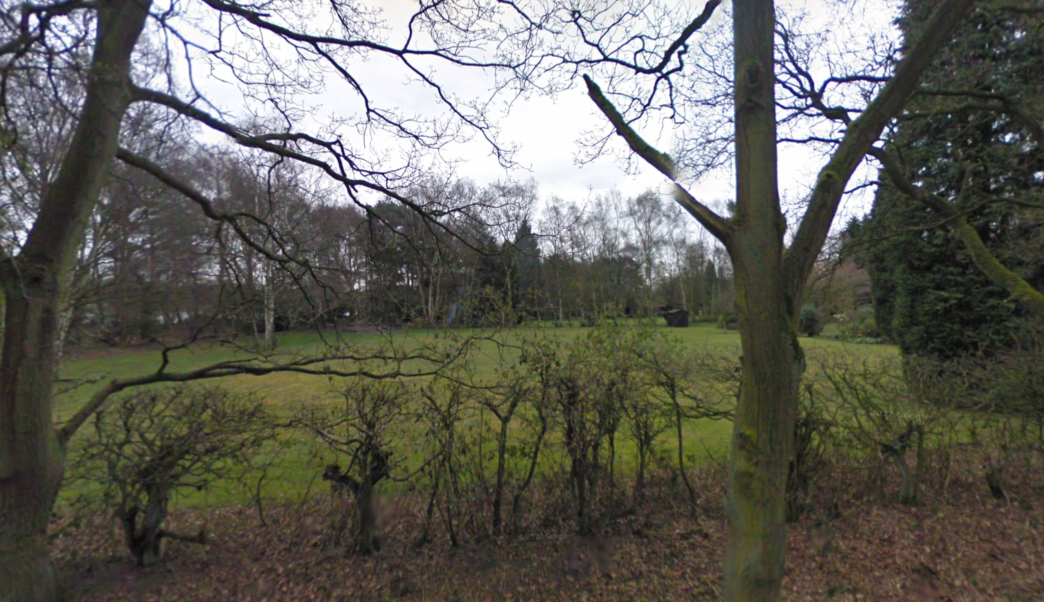
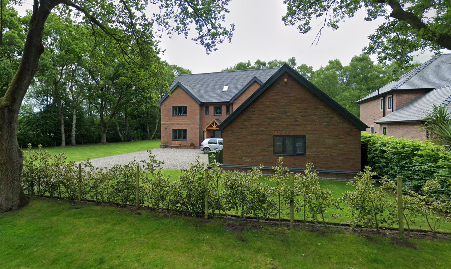
Street level imagery confirmed the site comprised of open land.
The published geology identified the drift soils as Glaciofluvial Deposits (sands and gravels) which was underlain by mudstone.
The planning history of the site was reviewed as part of the desk based research and the reports associated with any previous application were located and studied, no salient information was obtained.
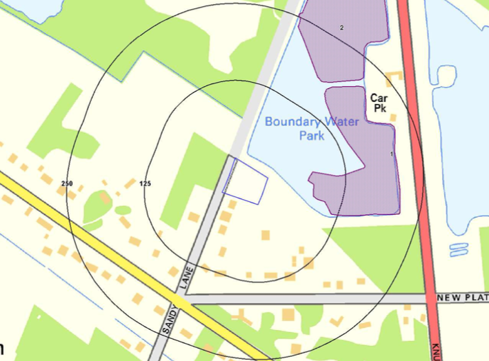
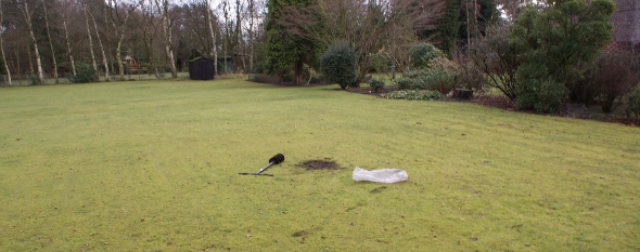
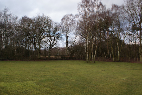
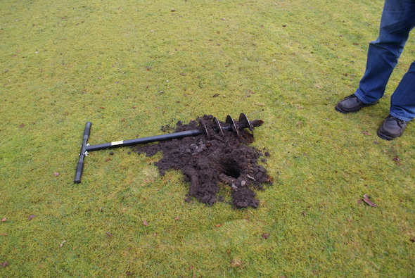
On completion of the desk based research a site reconnaissance visit was undertaken, this confirmed the site comprised of open land. During the walkover survey a hand held borehole was sunk, this revealed the geology as 400mm of topsoil underlain by sands and gravels. No evidence of made ground was recorded.
Once the walkover survey was completed a qualitative risk
assessment was undertaken on the potential sources of contamination identified in the desk study report in order to determine if any warranted further investigation, this concluded that the onlyu potential source of contamination was the sand pit and as the pit was a water body there was no evidence of in-filling and this was discounted as a credible source.
As there were no credible sources of contamination a conceptual model could not be constructed and it was concluded that no further works were warranted.

The report was submitted with the application and the recommendations of the report were accepted, which prevented a contaminated land planning condition being attached to the decision notice.

This case study records the project circumstances and conclusions at the time of the work. Planning links may refer to historical council systems.
YOUR NEXT PROJECT
A different site.
The same careful approach.
Send us your site address, development plans and any planning conditions. We’ll help establish the right scope of assessment.
Independent environmental consultancy
Liverpool · Brighton · Cumbria