
Menu
DEMETER ENVIRONMENTAL / CASE STUDY
Residential Redevelopment of Land at Upper Quarry Road and Bradley Road, Bradley, Huddersfield
THE PROJECT
Site context.
Practical findings.
In order to support the application for the erection of nine dwellings a Phase I Desk Study report was required to determine if the site had the potential to be impacted by elevated levels of contamination and to determine if the development could be made ‘suitable for use’.
The first stage of the desk study report was to review the history of the site and its surrounds using Ordnance Survey maps from 1854, aerial plates and street level imagery. The maps indicated the site was open land until the 150’s when a number of residential garages and access were erected on the south western corner of the site.
A railway line was identified ont he eastern boundary of the site from 1854 and Bradley Quarry was in close proximity to the northern boundary.
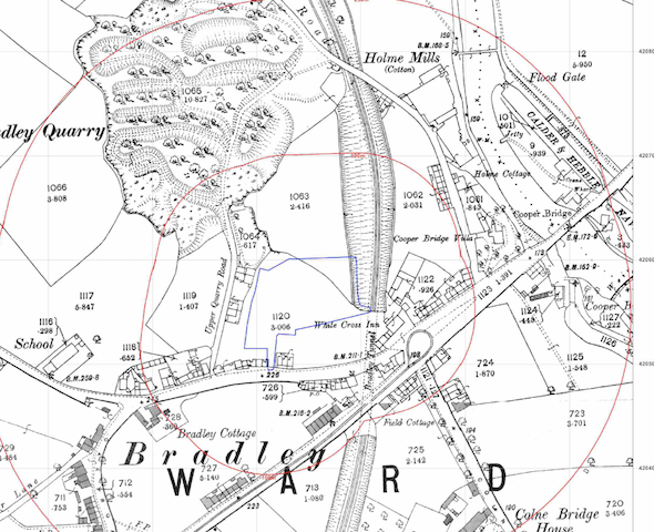
Whilst data provided by Groundsure indicated a mill was in close proximity to the site, the mill could not be located on the O.S maps.

Data provided by the Environment Agency id not reveal any landfills within 250m of the site.
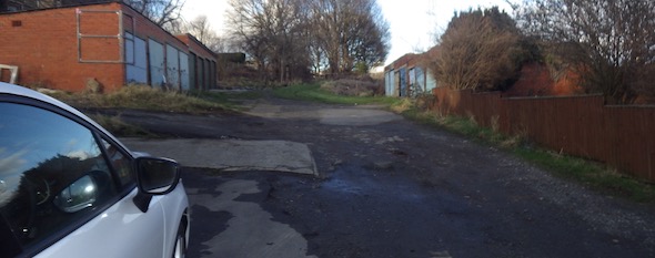
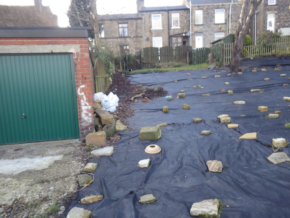
On completion of the desk based assessment a site reconnaissance visit was undertaken, which revealed that the residential garages were still present on the south western area of the site and generally the reminder of the site was open land. Cement sheeting was identified on the buildings.
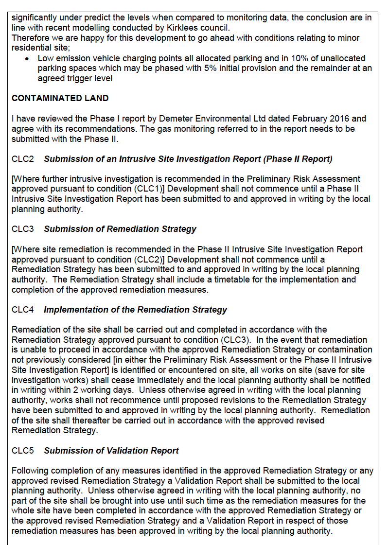
A qualitative risk assessment was undertaken to determine if the potential sources of contamination identified int he desk study report warranted further investigation, which concluded that the residential garages, cement sheeting, potential for made ground and the nearby quarry warranted further investigation.
Based on the qualitative risk assessment a preliminary conceptual model was constructed and proposals for further works based on the conceptual model were presented int he desk study report.
This case study records the project circumstances and conclusions at the time of the work. Planning links may refer to historical council systems.
YOUR NEXT PROJECT
A different site.
The same careful approach.
Send us your site address, development plans and any planning conditions. We’ll help establish the right scope of assessment.
Independent environmental consultancy
Liverpool · Brighton · Cumbria