
Menu
DEMETER ENVIRONMENTAL / CASE STUDY
Erection of a Dwelling at Bailey Crescent, Congleton, CW12 2EW
PROJECT OVERVIEW
Phase 1 desk study at Bailey Crescent, Congleton
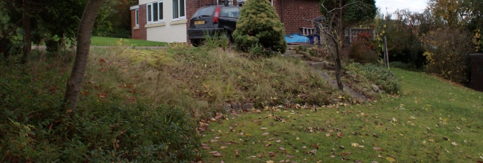
A proposed dwelling at Bailey Crescent required assessment of nearby historical sand pits. Demeter reviewed maps and environmental records, inspected the site and undertook a second walkover of the excavations. The observations found no evidence of infilling, allowing the revised desk study to discount the potential ground gas source. The record reports acceptance and discharge of the condition.
Explore related expertise
More case studies for this council area · Related project: Phase 1 desk study in Woodcote
Discuss a new site with our Liverpool, Brighton or Cumbria office. Browse the UK project map for other locations.
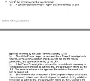
| Given the sensitive nature of the site and the close proximity of excavations to the south of the site a contaminated land condition was attached to the decision notice.
In order to discharge the first part of the condition a Phase I desk study report was required. A desk study report assesses the potential for a site to be impacted by elevated levels of contamination rising form historical uses of both the site and the surrounds.
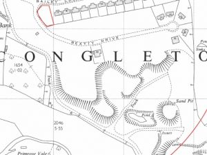
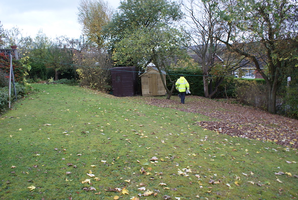
The history of the site and the surrounds were researched using a combination of O.S. maps, aerial plates and street level imagery. The review indicated the site was developed circa 1963 when the adjoining dwelling was erected. A number of excavations/sand pits were noted on the maps in close proximity to the site. Information provided by regulators did not identify any other potential sources of contamination. On completion of the desk based assessment a site walkover survey was undertaken, which revealed the site comprised of a sloping garden associated with the adjacent dwelling, hand held boreholes were excavated as part of the walkover survey which demonstrated the absence of made ground on the site. Whilst the initial report discounted the excavations (sand pit) to the south as credible sources, a number of queries were raised by the planning authority. In order to provide additional information a second walkover was undertaken once permission from the landowner of the area of the excavations had given permission. The additional walkover survey identified the excavations on the previous O.S. maps had not been in-filled (current contours are similar to the contours of the excavation) and were discounted as a credible source of ground gases. The revised desk study report was accepted by the local authority and the contaminated land planning condition was discharged. |
This case study records the project circumstances and conclusions at the time of the work. Planning links may refer to historical council systems.
YOUR NEXT PROJECT
A different site.
The same careful approach.
Send us your site address, development plans and any planning conditions. We’ll help establish the right scope of assessment.
Independent environmental consultancy
Liverpool · Brighton · Cumbria